There is widespread use of land for agriculture, industry, commerce and living but land information are scattered in various government agencies. Those land information are stored in many forms such as electronic data base, paper forms with different standards. This leads to incorrect information and inadequate support for the improvement of government service delivery.

| Currently, there are several agencies both public and private that
require our land data. However, data in paper forms make it difficult for them
to use. During the past 3 decades Department of Lands has to deal with the
complexity of a large amount of transactions and land database, approximately 36 million parcels of land records about 300
million of relevant documents which mostly has been maintained in paper forms
or hard copy in strong rooms at land offices not in digital form; | 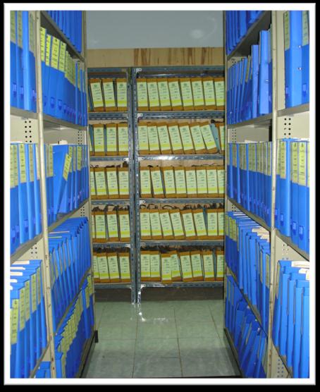 |
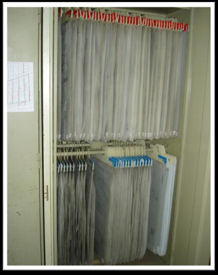 | we still have to maintain hard copies which
some of them were more than 100 years ago. The crucial challenge in maintaining
land records is how to convert hard copy of land records to digital ones. To
support our Department of Lands’ vision “to be core mechanism in
driving land management for the utmost benefit for the people and country
development with standard management and service”, in consequence, we are implementing “The National
Land Information and Mapping Centre Project”. The objective of the project is to be the central integrated organization of the utilization of land and mapping |
information between government agencies in
accordance with the government policies. The database of land parcels of the
whole country, which was originally stored or kept as the paper document in
various forms of text, cadastral map (spatial) and image data for more than a
century, will be stored in computerized database, which will be continuously
updated automatically.
The system can be connected and exchanged information between internal
departments and external agencies at any time via the internet. This project
will contribute to governmental policy formulation and management of land; it
will also help to reform land and building tax for local governments.
Government will have a tool for country’s development and directions for
economic competitiveness towards e-government. This project requires
collaboration among government agencies.
We have recognized that our land information is fundamental information
that vital to all sectors of government and private. Moreover, land information
should be kept up to date, in order to deliver efficient and effective
e-services to the people because land resource is one of the main basic factors
which is critical to the survival of humanity and food security
